As an enthusiast of free and open-source software, I became aware of OpenStreetMap and affiliated projects close to a decade ago. At the time, I was living in a city that was extremely well-mapped and contributed only a little: points of interest (POIs) for recently-opened shops, or minor corrections. I didn’t use Google Maps or any other proprietary map solution for many years, and forgot what those platforms were like to use.
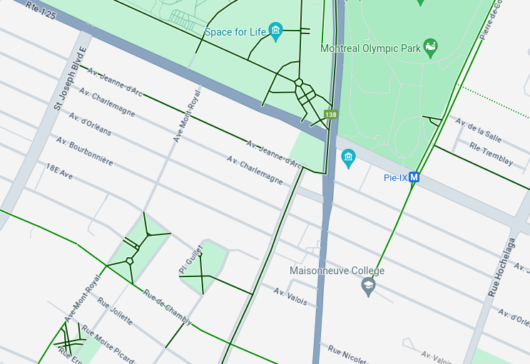
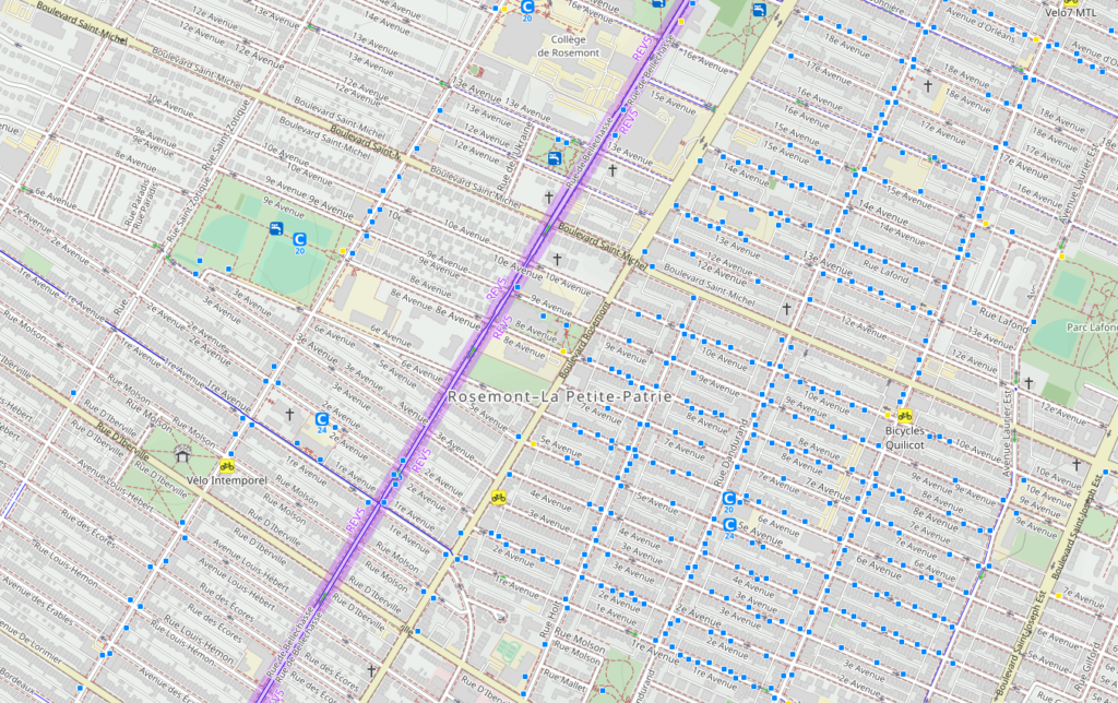
Then I moved to Montréal. While some areas were actively maintained, others were woefully neglected. No buildings were drawn in Rosemont north of Rue Masson, and there were very few POIs even in some major retail areas. It was a struggle to find what I was looking for, and so I at times resorted to Google Maps for help.
Google Maps is an ad platform. It exists to connect people with businesses, not to help them enjoy the places they live. This is evident when one first opens their app and is shown a variety of “featured” places — all places to spend money, of course — and when one attempts to find any kind of walking or cycling infrastructure. Google Maps is maintained by Google employees, and it is not worth Google’s time nor money to focus on anything that does not provide them with ad revenue.
This is especially evident when one looks at Google’s cycling map. At times it is missing significant protected bike lanes, while at others it presents fictitious ones. It also fails to provide any useful points of interest, such as bike repair stands.
OpenStreetMap, on the other hand, is community-driven. Most contributors are local, and their priorities are different from those of corporate interests. Mappers often map public spaces in great detail, providing huge value to non-drivers.
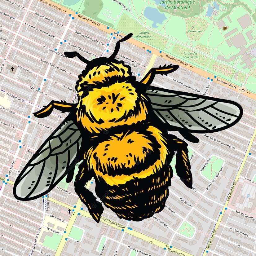
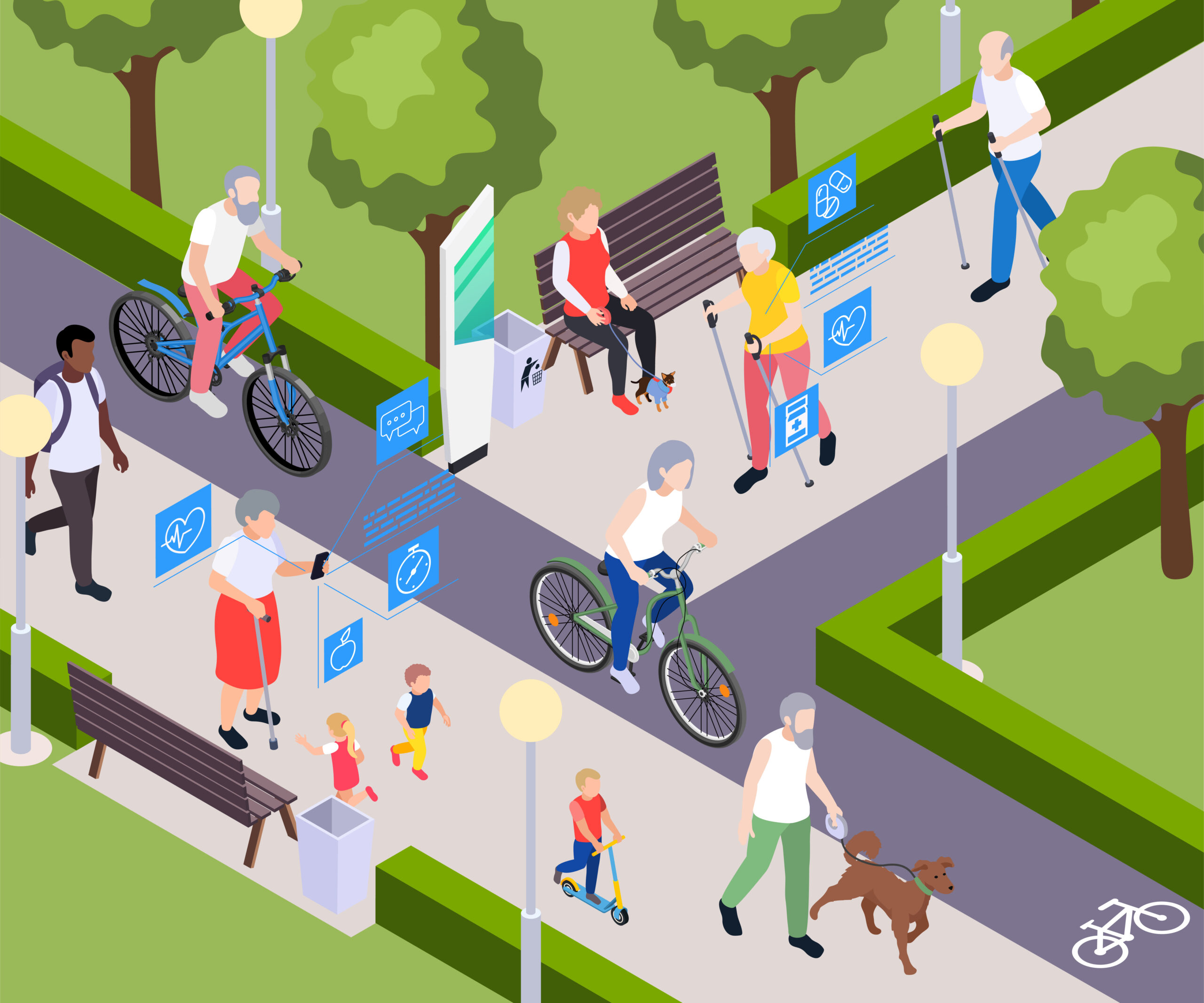
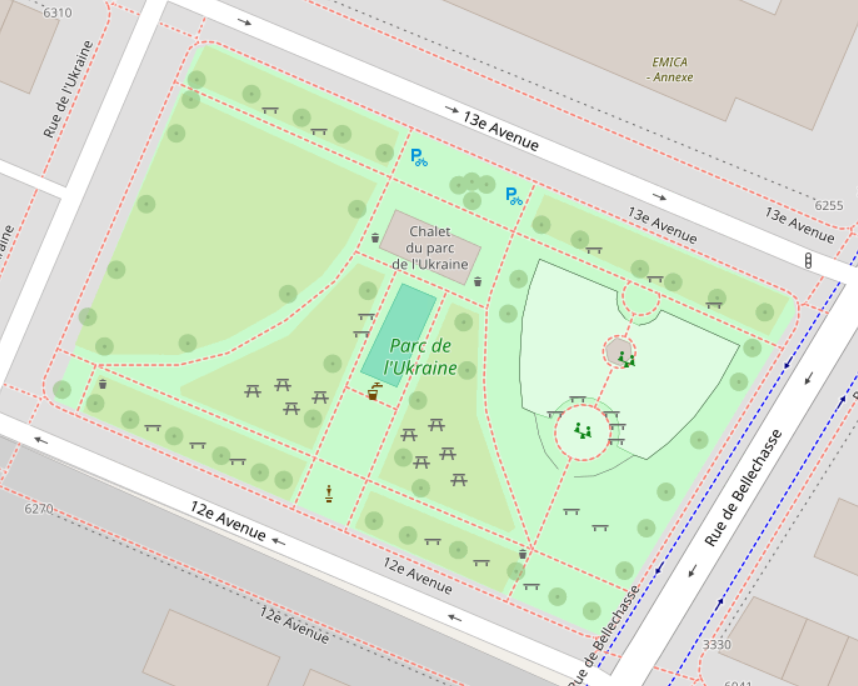
This so-called “micro-mapping” should be of great interest to any urbanist. It allows us to quantify how much cycling infrastructure exists in a place, and to connect people with spaces that are excellent to be in. Whether you’re in need of a place to park your bike, a water fountain, or a washroom, it’s just a search away in an app like Organic Maps. And entirely free.
Because I believe in the power of community, I immediately began contributing to OpenStreetMap in my area once I discovered the need. My goal is to make it the foremost resource for people who walk and cycle to turn to when they need information about an area, and eventually to use it to help identify areas that are lacking in infrastructure for these forms of personal transport. With that knowledge, we can more effectively advocate for the changes that our community needs.
How to get started mapping?
No matter where you live, there are always things that you can contribute to help make OpenStreetMap more complete. It’s easiest to contribute things that you want to see on a map in areas you already know, so a good place to start is to explore the map in your area and use it for looking up points of interest and navigating. Any time you run into something that’s missing, add it!
Organic Maps is a good, simple map app for Android or iOS. OSMAnd is a more powerful, feature-rich map app for Android and iOS.
You’ll need to sign up for an OpenStreetMap account to get started editing. From there, you can take a short tutorial from the website’s default editor, iD, that shows you the basics of how to add features.
If jumping in with both feet sounds too intimidating, you can also help add information to existing map features with beginner-friendly apps like StreetComplete (Android only, though an iOS app is on the roadmap,) or MapComplete (web-based.) These apps get you out on the ground in your neighborhood to add data helpful to non-drivers, and also help a lot to get you acquainted with the map and its features and tags. I started out on StreetComplete, and within a month I had started drawing in more buildings on the OSM website so I would have more quests to complete. It’s addictive!
There are plenty of resources out there to help you learn OSM that are much more detailed than I could ever be, so if you’re interested please check out LearnOSM for plenty of detailed tutorials. The OSM Wiki is also an invaluable resource for information on the huge number of tags that exist, once you get a bit more advanced.
If you’re looking to get started with contributing to OSM but feel like you need help, I’m happy to help! Please feel free to connect with me on Mastodon or send me a message on OpenStreetMap and I’ll do my best to answer your questions and get you on the right track!
Leave a Reply